
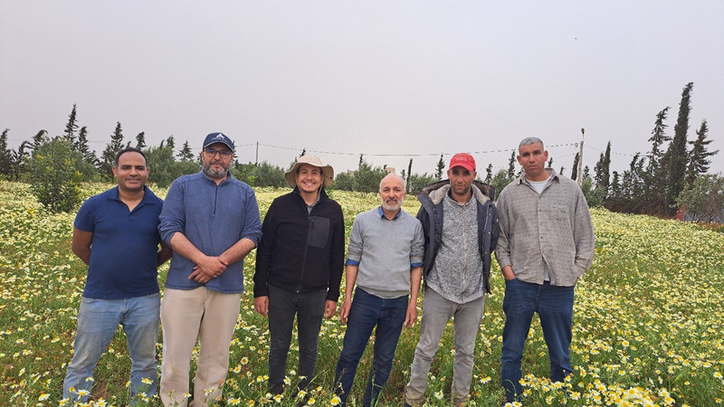
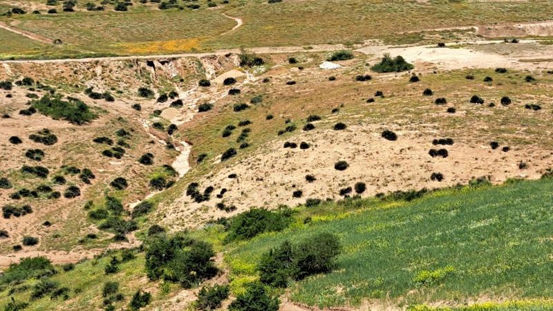
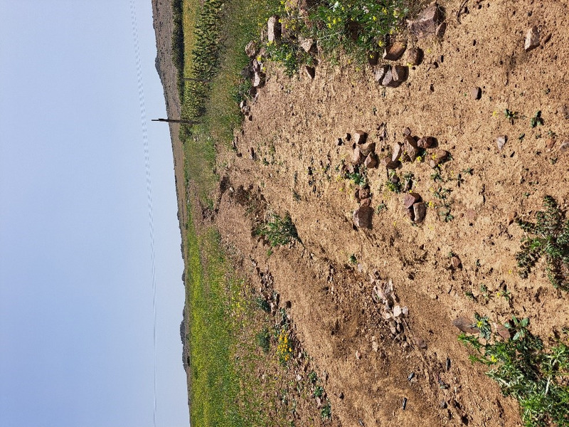
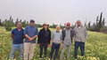
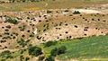
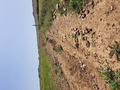
During April and May 2025, the teams from UM6P and AGENDA visited various lighthouse and new planting sites (including Atriplex sites, the Argan Lighthouse, El Baraka Farmers Association sites, Dar El Carob Lighthouse, and the Société Ouest Marocain (SOM) site) to collect soil and water samples and gather data on the state of degradation, with the objective of calculating the Desertification Index score for each site.
Field measurements were conducted, focusing particularly on soil water infiltration and vegetation cover. The soil samples will be analyzed to determine physical properties and fertility, while the water samples will be assessed to evaluate the quality of irrigation water and identify any risk of salinity. In the next phase, additional data, such as climate, land use management, and topography, will be integrated to calculate the Desertification Index score.
 tap and then scroll down to the Add to Home Screen command.